Our Hike Logbook
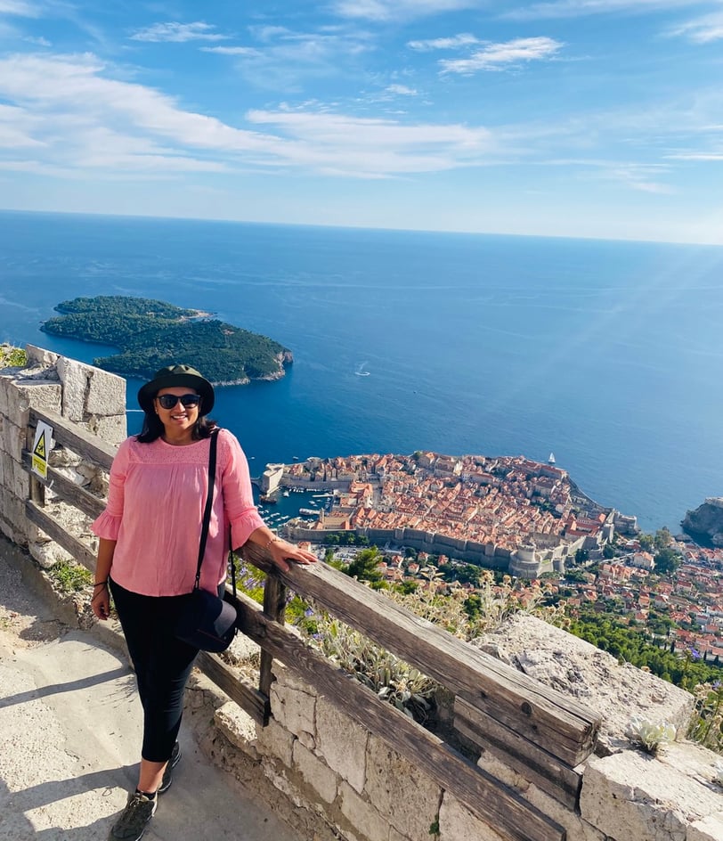
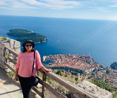
Croatia
Mount Srd from Pile Gate, Dubrovnik
Date - 24 September 2022
Start point - Homeland War Museum
End point - Pile Gate
Distance - 4 km, Duration - 2 h, Difficulty - Moderate, Elevation - 0m ascent, 280m descent
Germany
Drachenfels from Konigswinter, Bonn
Date - 23 June 2018
Start and End point - Konigswinter Bahnhof
Distance - 6 km, Duration - 3 h, Difficulty - Easy, Elevation - 220m ascent, 220m descent
Route - Konigswinter Bahnhof - Schloss Drachenburg - Drachenfelsplateau - Konigswinter Bahnhof


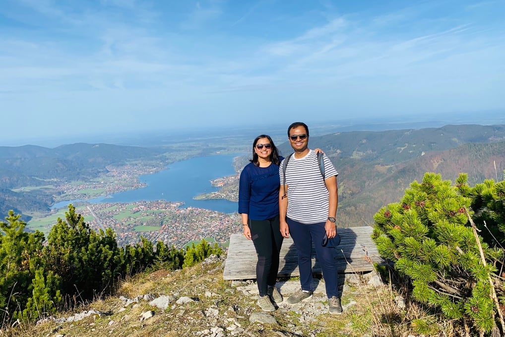
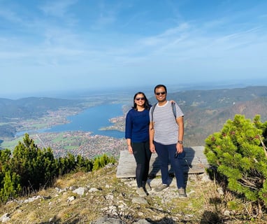
Sommerweg from Wallberg Gipfel to Rottach-Egern, Tegernsee
Date - 29 October 2022
Start point - Bergstation Wallbergbahn (1620 m)
End point - Wallbergbahn Talstation (795 m)
Distance - 9 km, Duration - 4.5 h, Difficulty - Moderate, Elevation - 100m ascent, 880m descent
Route - Bergstation Wallbergbahn (1620 m) - Wallberg Gipfel (1722 m) - Bergstation Wallbergbahn (1620 m) - Wallbergsattel (1507 m) - Wallbergbahn-Talstation (795 m) - Rottach Egern
Italy
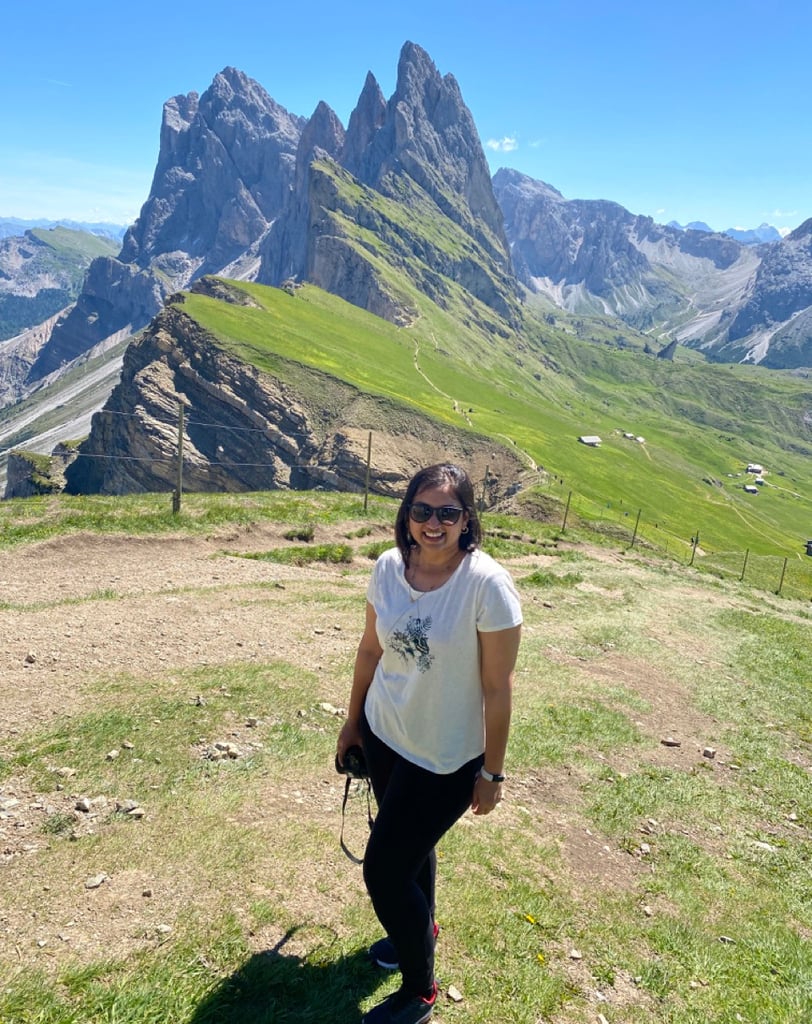
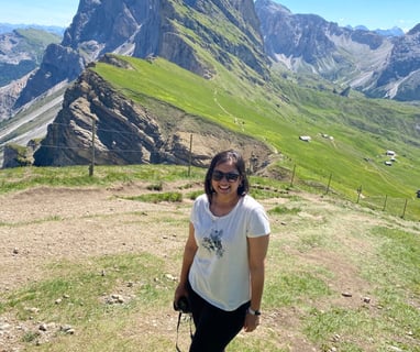
Seceda Ridge Hike, Ortisei Val Gardena
Date - 14 June 2022
Start and End point - Seceda mountain station (2500 m)
Distance - 7 km, Duration - 4 h, Difficulty - Easy, Elevation - 500m ascent, 500m descent
Route - Seceda mountain station (2500 m) – Seceda panorama point (2518 m) – Furcella Pana (2439 m) – Pieralongia (2297 m) – Baite Sofie Hut (2413 m) – Seceda mountain station (2500 m)
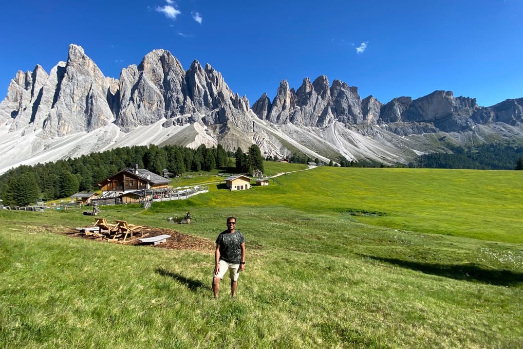
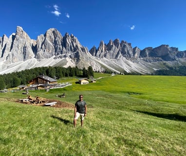
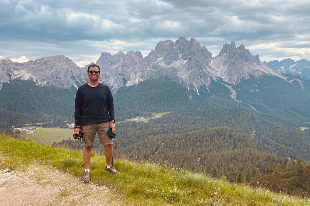
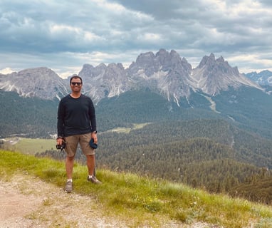
Adolf Munkel Trail, Zannes Val di Funes
Date - 14 June 2022
Start and End point - Zannes or Zans (1680 m)
Distance - 9.2 km, Duration - 4.30 h, Difficulty - Moderate, Elevation - 378m ascent, 378m descent
Route - Zannes or Zans (1680 m) – Dusler Alm (1782 m) – Rifugio Odle or Geisler Alm (1996 m) – Malga Casanago or Gschnagenhardt Alm (2006 m) – Zannes or Zans (1680 m)
Trail - 36, 35, 6
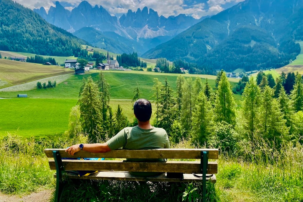
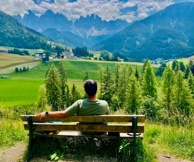
Santa Maddalena Panorma Trail Loop, Val di Funes
Date - 15 June 2022
Start and End point - Santa Maddalena Village
Distance - 9 km, Duration - 4 h, Difficulty - Easy, Elevation - 380m ascent, 380m descent
Route - Santa Maddalena Village – Santa Maddalena Church – Vikolerhof – Runggatschhof – Gsoihof – Austillerhof – Santa Maddalena Church – Santa Maddalena Village
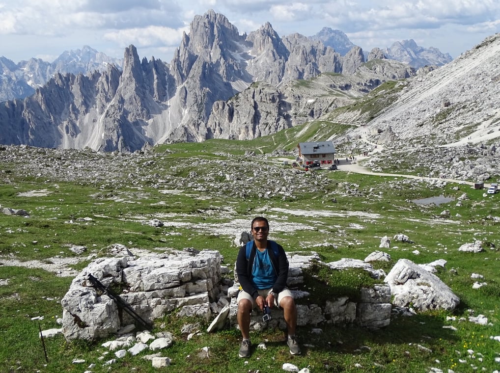
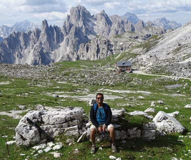
Monte Piana WW1 Historic Route, Misurina Val Pusteria
Date - 16 June 2022
Start and End point - Rifugio A. Bosi (2205 m)
Distance - 6.5 km, Duration - 3 h, Difficulty - Easy, Elevation - 250m ascent, 250m descent
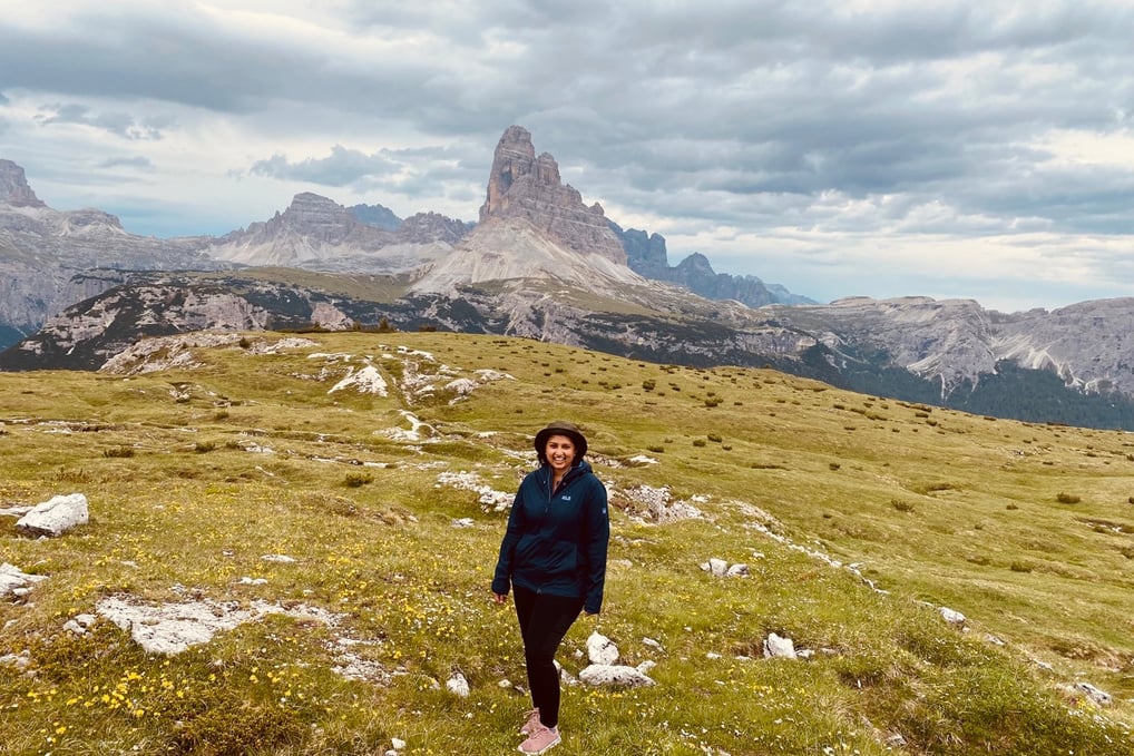
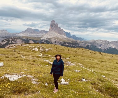
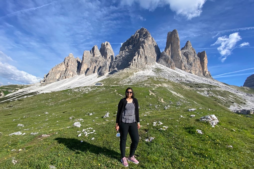
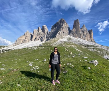
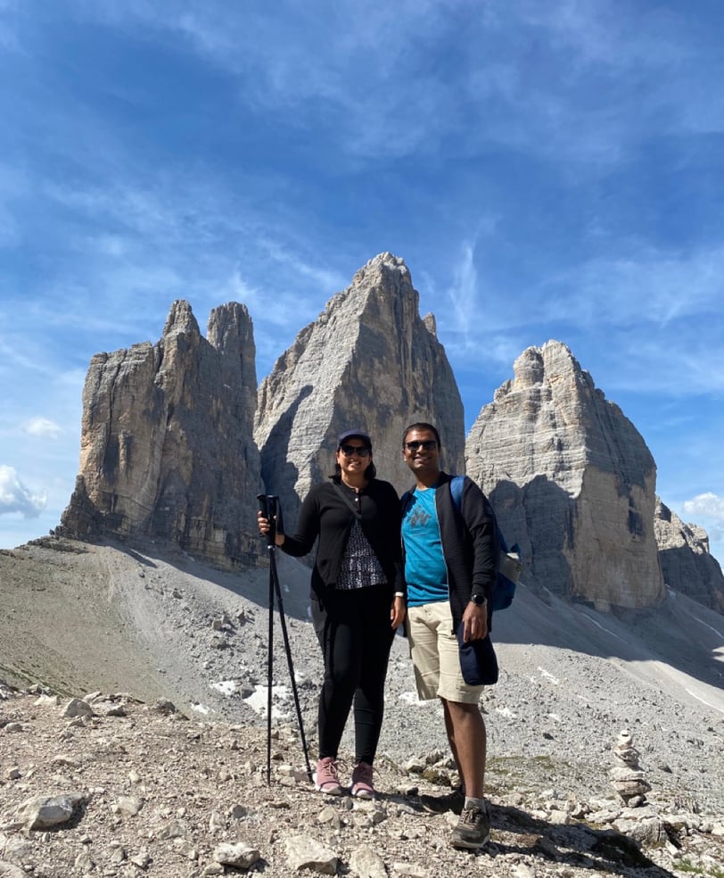
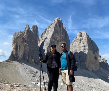
Tre Cime di Lavaredo Circuit Trail, Auronzo di Cadore Val Pusteria
Date - 17 June 2022
Start and End point - Rifugio Auronzo
Distance - 10 km, Duration - 5 h, Difficulty - Moderate, Elevation - 430m ascent, 430m descent
Route - Rifugio Auronzo – Rifugio Lavaredo – Forcella Lavaredo/Paternsattel – Rifugio Locatelli/Drei Zinnen Hütte – Langalm – Forcella del Col del Medo – Rifugio Auronzo
Poland
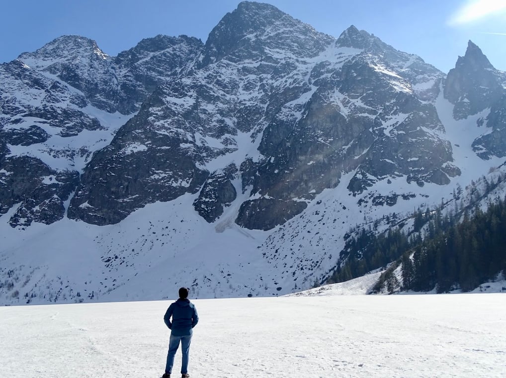
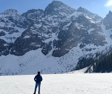
Morskie Oko Lake Hike, Zakopane
Date - 21 April 2019
Start and End point - Palenica Bialczanska Car Park (990 m)
Distance - 10 km, Duration - 5 h, Difficulty - Easy, Elevation - 400m ascent, 400m descent
Route - Palenica Bialczanska (990 m) - Dolina Bialki - Wodogrzmoty Mickiewicza - Wanta - Wlosienica - Zleb Zandarmerii - Morskie Oko (1393 m) - Palenica Bialczanska (990 m)
Switzerland
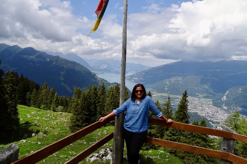
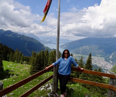
Bachalpsee Lake Hike, Grindelwald
Date - 27 May 2022
Start and End point - Grindelwald-First cable car station (2168 m)
Distance - 6 km, Duration - 2 h, Difficulty - Easy, Elevation - 188m ascent, 188m descent
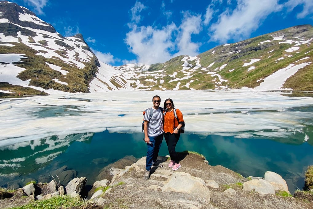
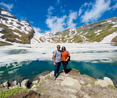
Breitlauenen from Schynige Platte, Gsteigwiler
Date - 29 May 2022
Start point - Schynige Platte (2099 m)
End Point - Breitlauenen (1542 m)
Distance - 3.2 km, Duration - 2 h, Difficulty - Easy, Elevation - 20m ascent, 410m descent
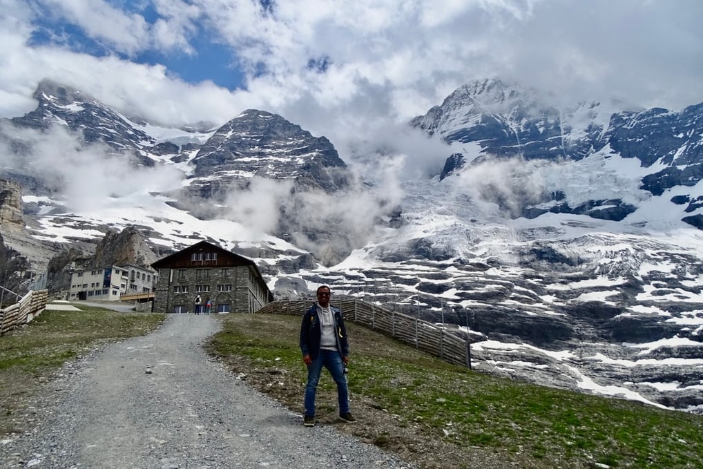
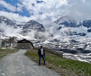
Jungfrau Eiger Walk, Jungfraujoch
Date - 30 May 2022
Start point - Eigergletscher, Jungfraubahn middle station (2319 m)
End point - Kleine Scheidegg (2061 m)
Distance - 2.1 km, Duration - 1 h, Difficulty - Easy, Elevation - 17m ascent, 275m descent